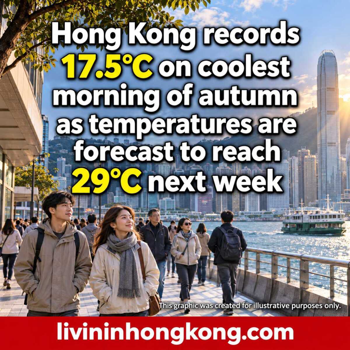
Hong Kong has recorded its coolest morning of autumn so far, but the cooler weather is expected to be short-lived, with temperatures forecast to rise again later this week.
The Hong Kong Observatory recorded a minimum of 17.5°C on Tuesday morning, 10 November, as a northeast monsoon brought cooler weather and northerly winds to the city. Parts of the New Territories were generally cooler still. RTHK reported that temperatures were expected to continue climbing later in the week.
According to am730, the forecast available on Tuesday morning suggested daytime highs could return to 28°C to 29°C early next week. Forecasts can change, so residents should check the Observatory’s latest nine-day forecast when making plans.
Why is the cooler weather not expected to last?
Acting senior scientific officer Lam Hok-yin told a radio programme that the recent temperature swings could be related to the limited strength of cold air affecting southern China in autumn, am730 reported.
Although the current northeast monsoon brought a noticeable chill, cooler spells at this time of year can be relatively brief. In meteorological terms, December to February is considered winter.
Lam also advised residents to consider the effect of wind when deciding what to wear. Strong winds can carry heat away from the body, making conditions feel colder than the temperature reading suggests. He recommended taking an extra layer when heading out in cool, windy weather, according to RTHK.
What happens next?
Wednesday morning, 11 November, was expected to remain relatively cool, with temperatures around 18°C in urban areas and at least one or two degrees lower in the New Territories, Lam told RTHK. Sunshine and dry conditions could bring the daytime temperature to around 25°C, before a further rise later in the week.
The forecast for next week remains subject to revision.